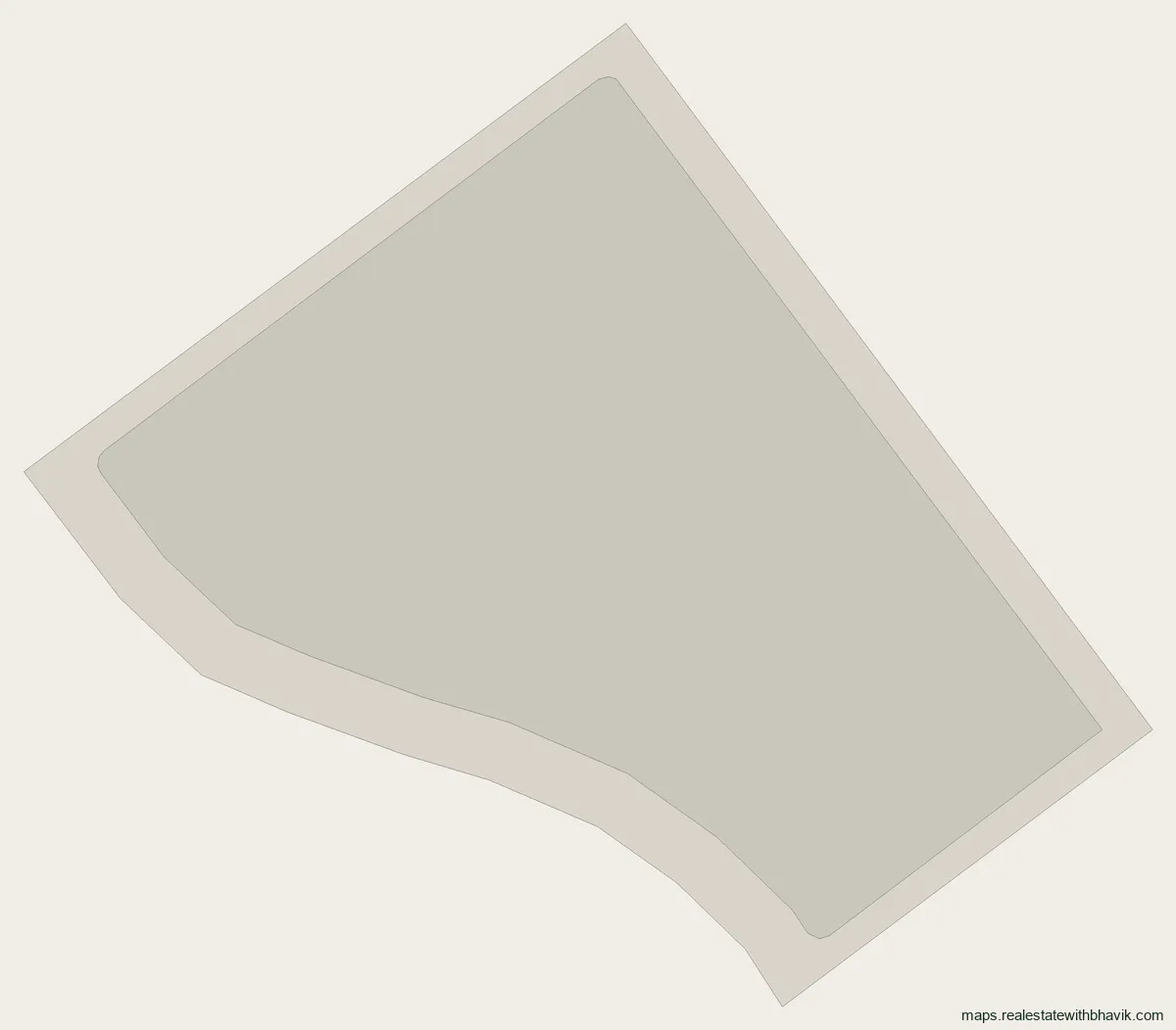
The planned land use inside Sector 3D, from the authority's Master Plan 2041, each use in its own colour. Tap an area for its use.
Layout picture, to save or share
Available now
1 plot available in Sector 3D
As of November 2026. Prices as quoted, subject to confirmation, updated monthly. Locations are shown by block.
- Block D200 sq mNorth facing · VacantRef P09F29 · Oct 2026₹3.15 CrAsk
No plots match these filters.
At a glance
- Planned for
- Utilities and facilities77% of the sector
- Sector area
- 83.1 hameasured on the outline
- Numbered plots
- None yeton the authority's layout
- Yamuna Expressway
- 17 kmstraight line
- Airport terminal
- 18 kmNoida International Airport
About Sector 3D
Sector 3D is a YEIDA sector of about 83.1 hectares that the authority has so far mapped as an outline, with no plot layout published. The Master Plan 2041 divides it into utilities and facilities (77%) and roads (23%). Utilities and transport take most of the planned area.
Before acquisition this was farmland of Fatehpur jadon and Mohammadpur Mazra Bichhat. Measured from the middle of the sector, the expressway is 17 km away and the airport terminal 18 km. If someone offers you land here today, ask exactly what is being sold: without a published layout there is no authority plot number to buy. The map above colours each planned use; tap an area for its name. The pin code used for most of it is 203203. When the authority publishes a layout for it, this page will show every plot the way the plotted YEIDA sectors do.
Ask us before you pay anything. We work for buyers, not sellers, and will check the plan with you.
What is in Sector 3D
Sector 3D has no numbered plots on the authority's layout yet. The first table is the Master Plan 2041 land use inside its outline, by share of the sector's area.
| Planned use | Share |
|---|---|
| Utilities and facilities | 77% |
| Roads | 23% |
| Category | Plots |
|---|---|
| Plots on the authority's layout | None yet |
Around Sector 3D
Distances below are straight lines from the middle of Sector 3D, so road distances will be longer.
Getting there
- Yamuna Expressway about 17 km
- Noida International Airport terminal about 18 km
Pin code
203203 is the India Post pin code for the villages that make up most of Sector 3D. Confirm the pin on your papers, as village and sector lines do not always match.
Sector 3D, answered
Are there plots in Sector 3D?
Not yet. The authority has mapped Sector 3D as an outline with no plot layout published.
What is Sector 3D planned for?
The Master Plan 2041 plans it as utilities and facilities (77%) and roads (23%).
How far is Sector 3D from the Noida International Airport?
About 18 km in a straight line to the terminal, and about 17 km to the Yamuna Expressway.
Which villages does Sector 3D cover?
Mostly Fatehpur jadon and Mohammadpur Mazra Bichhat, by the revenue map.
What is the pin code of Sector 3D?
203203 is the India Post pin code for the villages that make up most of Sector 3D. Confirm the pin on your papers, as village and sector lines do not always match.
Talk to us
Ask about any plot in Sector 3D
Quickest by WhatsApp or a call. We answer questions about specific plots, corner status, and paperwork.
Would rather not call?
Leave your details and we will come back to you.
Message received
Other YEIDA sectors
- Sector 15C
- Sector 16
- Sector 17
- Sector 18
- Sector 20
- Master Plan Sector 18-20
- Sector 21 (Film City)
- Sector 22D
- Sector 22E & 24A
- Sector 24
- Sector 28
- Sector 29
- Sector 32
- Sector 33
- Sector 1
- Sector 2
- Sector 3
- Sector 3A
- Sector 3B
- Sector 3C
- Sector 4
- Sector 4A
- Sector 4B
- Sector 4C
- Sector 4D
- Sector 5
- Sector 5A
- Sector 5B
- Sector 5C
- Sector 6
- Sector 6A
- Sector 7
- Sector 7A
- Sector 7B
- Sector 7C
- Sector 7D
- Sector 7E
- Sector 7F
- Sector 7G
- Sector 7H
- Sector 8
- Sector 8A
- Sector 8B
- Sector 8C
- Sector 8D
- Sector 8E
- Sector 8F
- Sector 8G
- Sector 8H
- Sector 8I
- Sector 8J
- Sector 8K
- Sector 8L
- Sector 9
- Sector 9A
- Sector 9B
- Sector 10
- Sector 11
- Sector 12
- Sector 13
- Sector 14
- Sector 15
- Sector 15A
- Sector 15B
- Sector 16A
- Sector 17A
- Sector 17B
- Sector 19
- Sector 22A
- Sector 22B
- Sector 22C
- Sector 22F
- Sector 23A
- Sector 23B
- Sector 23C
- Sector 23D
- Sector 23E
- Sector 23F
- Sector 23G
- Sector 23H
- Sector 23I
- Sector 23J
- Sector 25
- Sector 26
- Sector 26A
- Sector 26B
- Sector 27
- Sector 29A
- Sector 30
- Sector 30A
- Sector 30B
- Sector 31
- Sector 31A
- Sector 31B
- Sector 31C
- Sector 34
- Sector 35
See every published YEIDA map on the YEIDA sector maps page.