Tap any plot for its number, size, measured frontage and depth, corner status, and its Google Maps location with directions. Everything outside the sector is greyed out.
Layout picture, to save or share
At a glance
- Parcels on the layout
- 0sector-level map
- Land use
- Group housingplanned use
- Nearest metro
- Sector 137Aqua Line, 2.1 km
- Expressway
- 0.8 kmNoida-Greater Noida, straight line
- Airport terminal
- 42 kmNoida International Airport
About Sector 134
Noida Sector 137 station on the Aqua Line is about 2.1 km from the middle of Sector 134. Sector 134 has no individual plots on the authority's layout; the sector is planned for group housing. Close to Sector 134 are Primary School Vajidpur (0.5 km), J S Hospital (1.3 km) and SAYA Status Mall (1.0 km).
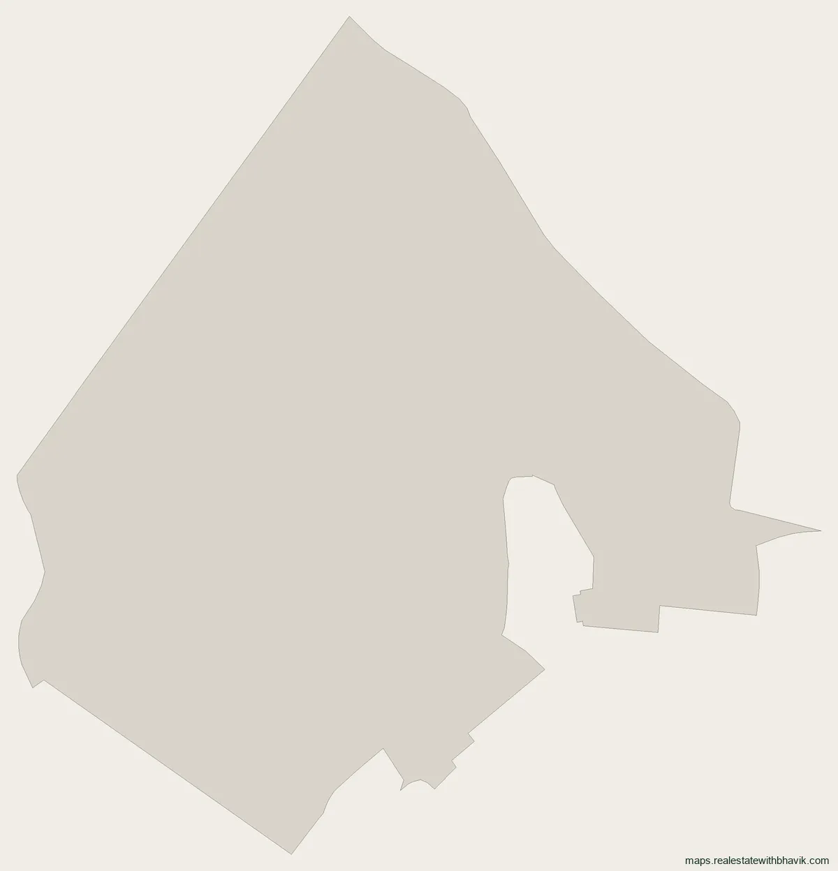
Housing around Sector 134 includes Kosmos 22 and Kosmos 24. From Sector 134, the Noida-Greater Noida Expressway is 0.8 km away and the Noida International Airport terminal is about 42 km, both as the crow flies. Sector 134 uses pin code 201304. The outline on this page is the authority's published boundary for Sector 134. Schools, hospitals, markets and metro stations around Sector 134 are listed below with straight-line distances. For plots near Sector 134, open the neighbouring sector pages linked further down.
We act only for buyers: share a Sector 134 plot number and we will tell you what to verify before committing.
What is in Sector 134
Sector 134 has 0 parcels on the authority's published layout. Counts are from the plan, not a site survey.
| Size | Plots |
|---|---|
| Not recorded | 0 |
| Category | Plots |
|---|
Around Sector 134
Distances are straight lines from the middle of Sector 134; road distances are longer.
Metro
- Noida Sector 137 about 2.1 km, Aqua Line
- NSEZ about 3.4 km, Aqua Line
Schools and colleges
- Primary School Vajidpur about 0.5 km
- Panchsheel Balak Inter College about 1.1 km
- Somerville International School about 1.1 km
Hospitals
- J S Hospital about 1.3 km
- J S Tomar Memorial Hospital Pvt. Ltd. - Noida about 1.3 km
- Jaypee Hospital about 1.8 km
Malls and markets
- SAYA Status Mall about 1.0 km
- Advant about 2.6 km
- Commercial 1, Paras Tierea about 2.9 km
Housing in and around the sector
- Kosmos 22 about 0.1 km
- Kosmos 24 about 0.1 km
- Kosmos 25 about 0.1 km
- Kosmos 28 about 0.1 km
- Kosmos 29 about 0.1 km
Roads and airport
- Noida-Greater Noida Expressway about 0.8 km
- DND Flyway about 6.7 km
- FNG Expressway about 7.5 km
- Noida International Airport terminal about 42 km
Pin code
Sector 134 uses pin code 201304, the India Post code of its nearest post office, Gejha.
Nearby
Neighbouring sectors
Sector 134, answered
Are there plots in Sector 134?
The authority's layout shows 0 parcels in Sector 134; the sector is planned for group housing.
What is the pin code of Sector 134?
Sector 134 uses pin code 201304, the India Post code of its nearest post office, Gejha.
Which is the nearest metro station to Sector 134?
Noida Sector 137 on the Aqua Line, about 2.1 km from the middle of Sector 134 in a straight line.
How far is Sector 134 from the expressway and the airport?
In a straight line, about 0.8 km to the Noida-Greater Noida Expressway and about 42 km to the Noida International Airport terminal.
Talk to us
Ask about any plot in Sector 134
Quickest by WhatsApp or a call. We answer questions about specific plots, corner status, and paperwork.
Would rather not call?
Leave your details and we will come back to you.
Message received
Other Noida sectors nearby
See every published map on the Noida sector maps page, or open Greater Noida, Noida Extension or YEIDA.